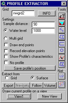
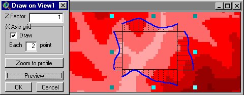
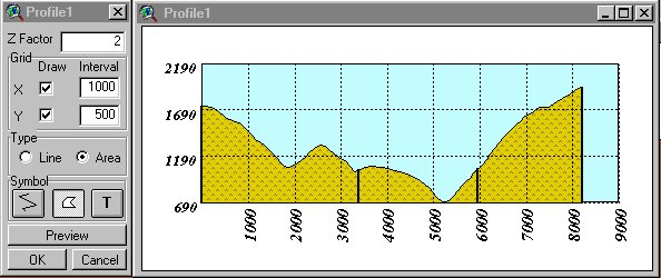
| For more information see README files provided in the downloads. NEW: Profile Extractor User Guide by Amanda Chiprout,
Carleton University, Ottawa, Ontario available now. In the User Guide Amanda
covers all the major PE functions
Download this User Guide here.
Thanks Amanda
Fix for Datum Conversion
Extension
If you don't have ArcView 3.2, or are frustrated from the speed of AV3.2's
Projection Utility Wizard you might need an extension to convert your data between your
local datum and WGS 84
Datum Conversion Sample extension (provided by ESRI) allows conversion of the
shapefiles between various datums. It uses Standard Molodensky Datum Transformation as
defined in DMA TR 8350.2. The extension works fine to convert a Local Datum to WGS 84,
however the conversion from WGS 84 to a Local Datum gives incorrect results (to try it
convert a shape file in aLocalDatum To WGS 84 and then back To aLocalDatum using the
ESRI's extension ).
NEW:
Have you had the frustrating messages?
ERROR: "Unable to read datum.par"
ERROR: "Unable to load datum parameters"
Have you wondered what to delete from the provided script
or in which directory to place the parameters file ?
This update will spare you all these troubles. Just load and RUN.
The extension provided here uses the ESRI's code with some modifications:
- Creates new shapefile
- Produces CORRECT results when converting from WGS 84 to a Local Datum
- All the Datum Parameters are embedded in the extension
Download:
- the CORRECTED Datum Conversion Sample Extension - Datum2.avx
- the CORRECTED Datum Conversion Sample Extension project - Datum3.apr
3DInControl
- Download
3D Analyst is a great extension of ArcView. You can put your data (TINs, GRIDs,
Shape files) in it's viewer, see it in 3D navigate , rotate etc. But DO YOU REALLY KNOW
where are you looking your data from and where are you looking to?
3DInControl tries to give the user control over the positioning of the Observer
and Target. The user can walk interactively (or along predefined path) through 3D scene he
has created.
Features:
- Set location for the Observer and Target interactively on the 3D scene or associated
view
- Adjust
- the elevation of the Observer and the Target
- the View Field angle
- the camera's roll angle
- rotate the camera
- walk interactively through the 3D scene
- walk through (fly by) along predefined path
- on a constant elevation or with predefined offset above the terrain
- looking to a constant target or in front
Arrange Documents -
Download
Small, but very useful.
With this extension you can save the size and position of all documents
on your ArcView desktop and restore this arrangement quickly whenever you want. If
meanwhile you have changed the size of the ArcView window the documents will be
proportionally resized to fit into resized window. The extension loads new menu -
"Arrange Documents" in the Project GUI.
Watershed
- Download
Delineates watershed for a user defined point. Stores the watershed in a new theme.
Calculates some characteristics of the watershed: Min,Max,Mean Elevation, Min,Max Slope,
Length of the longest watercourse.
NEW (13.04.2000)
Dr. Ivan Petras has added couple of features to the extension, fixed
some bugs and released it as Basin1 extension
You can download Basin1 from ArcScripts
REQUIRES "Spatial Analyst " Extension! |


