Builds Thiessen Polygons from a feature layer
Thiessen (Voronoi) polygons define individual areas of influence around each of a set of points. Thiessen polygons are polygons whose boundaries define the area that is closest to each point relative to all other points. They are mathematically defined by the perpendicular bisectors of the lines between all points
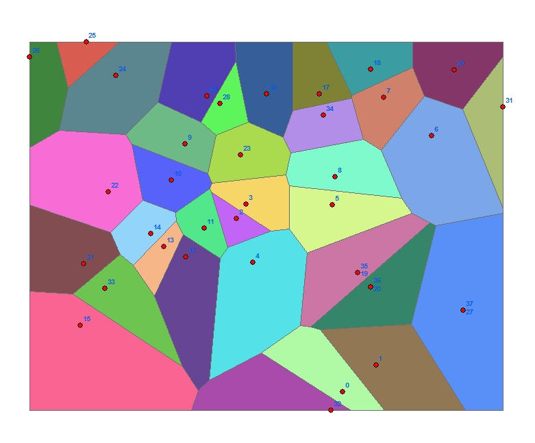
Thiessen - Buffer Distance = 0
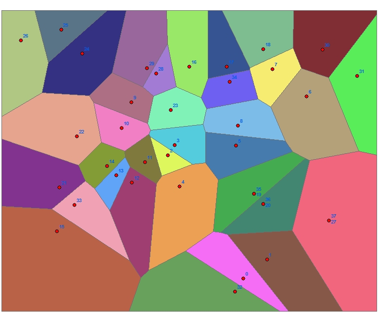
Thiessen - Buffer Distance > 0
Parameters
| Expression | Explanation |
|---|---|
| Function Name | BuildThiessen |
| <input dataset> | A String representing the input layer. Must be of Polygon type. |
| <output dataset> | A String - the full name of the output layer. |
| {Buffer Distance} | A Double representing the distance to buffer the input extent (in the units of the spatial reference of the input dataset. |
| {Add Attributes} | A Boolean that indicates whether the attributes of the input features are to be transfered to the thiessen polygons. |
ETGWPath used in the table below is the full path to ETGWRun.exe (E.G. "C:\Program Files\ETSpatial Techniques\ETGeo Wizards\ETGWRun.exe")
| Language | Syntax |
|---|---|
| Python | subprocess.call([ETGWPath, "BuildThiessen", "input dataset", "output dataset", "Buffer Distance", "Add Attributes"]) |
| .NET using ETGWRun.exe | StartInfo.FileName = ETGWPath StartInfo.Arguments = "BuildThiessen" "input dataset" "output dataset" "Buffer Distance" "Add Attributes" |
| .NET using ETGWOutX.dll | BuildThiessen(input dataset, output dataset, Buffer Distance, Add Attributes) |
| ArcPy | arcpy.BuildThiessen(input dataset, output dataset, "Buffer Distance", "Add Attributes") |
Notes:
<> - required parameter
{} - optional parameter
The argument separator for StartInfo.Arguments is space. If a string might contain a space, you need to double quote it.