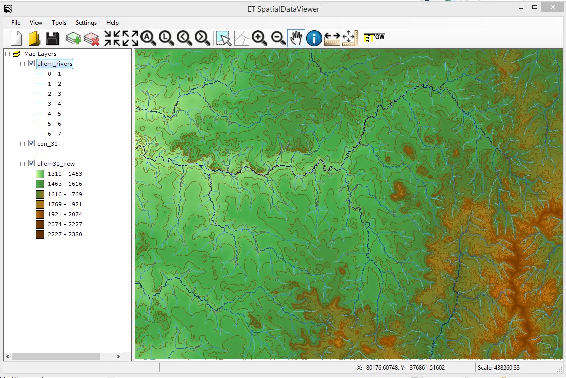
ET SpatialDataViewer
A free simple spatial data viewer that reads:
- Feature layers:
- Shapefiles
- File GDB feature layers.
- Surface layers:
- ESRI TIN datasets
- Raster datasets
- ESRI binary grid
- Erdas Imagine image (.img)
- TIFF format (.tif)
- ESRI Ascii Grid
With ET SDV you can
- Create and save projects.
- Change layer symbology.
- Identify features.
- Measure length and areas.
- View feature attribute tables.
- Perform SQL queries.
- Zoom to selected features.
If ET GeoWizards 12.x and/or ET Surface 7.x or above are installed on the machine, a button will be available for each application to start the interface from the Viewer. The loaded in the viewer layers will be available for processing with ET GeoWizards 12 and/or ET Surface 7. After executing a specific function the result will be loaded back in ET SDV.
For users that do not have any means for viewing spatial data ET SDV offers a possibility to view the results from the functions of ET GeoWizards and/or ET Surface.
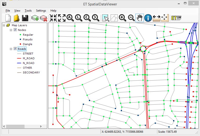
Example: Street Network with the classified nodes exported with ET GeoWizards

