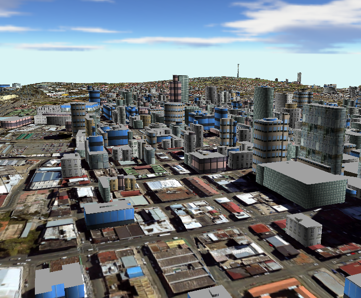
ET Terrain Viewer is a free software that allows the user to view GIS data in 3 dimensions.
The user can load in the viewer Raster or TIN surfaces, Z enabled features and even plain 2D features by draping them on an existing surface,
then navigate through the 3D environment using several different navigation techniques.
ET Terrain Viewer reads:
Feature layers:
Shapefiles
Surface layers:
ESRI TIN datasets
Raster datasets
ESRI binary grid
Erdas Imagine image (.img)
TIFF format (.tif)
ESRI Ascii Grid
With ET TerrainViewer the user can
Create 3D scene using any of the spatial data sources listed above.
Use customizable lights, skyboxes and fog effects
Set symbology using gradients, textures based on elevation or attributes.
Identify 3D coordinates.
Specify location of the observer and target using a 2D map.
Walk over the terrain at user-defined offset from the ground.
Define a route and have the observer follow it automatically.
Be in control of the XYZ location of the observer and the target.